-40%
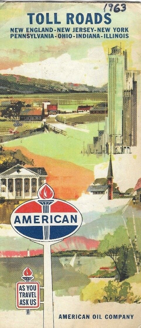
1963 AMERICAN Road Map TOLL ROADS Chicago - Boston New York Pennsylvania Maine
$ 3.16
- Description
- Size Guide
Description
Fold-out 1963 American Oil road map of the toll roads between Illinois and the eastern seaboard, printed more than 53 years ago.This map opens to 9" x 31½" and has great detail on old highway alignments and connections, with cartography by Rand McNally.
The coverage area extends from Chicago to Boston, including Indiana, Ohio, Pennsylvania, New York, New Jersey, Connecticut, Massachusetts, Rhode Island, and parts of Maryland and Delaware.
On the reverse side there are maps of the Illinois Tollway and connecting highways; the Buffalo and New York City metropolitan areas; and an inset plan of northern New England turnpikes, from Boston to Augusta, Maine.
This map was published in 1963 by the American Oil Company and is dated in the legend. The code number in the lower margin is 635925-5.
Condition:
It is in very good, lightly used condition, with
no
rips or tears. A previous owner has written the date on the cover; there are no other marks or writing. Please see the scans and feel free to ask any questions.
Buy with confidence! We are always happy to combine shipping on the purchase of multiple items — just make sure to pay for everything at one time, not individually.
Powered by SixBit's eCommerce Solution


