-40%
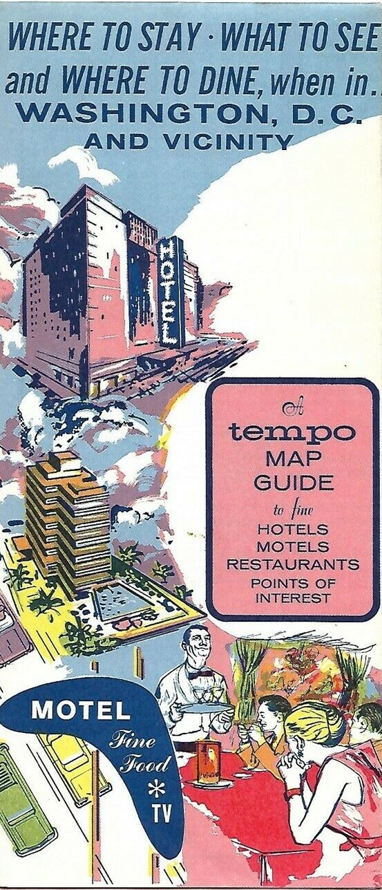
1964 AMERICAN OIL Tempo Road Map Guide WASHINGTON DC Holiday Inn Rand McNally
$ 4.21
- Description
- Size Guide
Description
Handsome fold-out 1964 Tempo road map guide to Washington, D.C., and vicinity, printed more than 56 years ago.The map opens to 17½" x 25½" and has great detail on old street and highway alignments, with cartography by Rand McNally.
Central Washington is on one side; the greater D.C. area, between Rockville, Maryland, and Woodbridge, Virginia, is on the other.
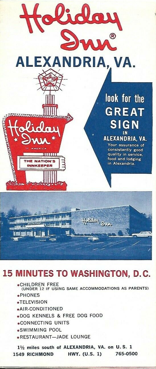
There's a full-panel ad for Holiday Inn on the rear cover, and American Oil's "Fill'er Up Filtered" ad across the upper portion of the map.
There are dozen of smaller ads for hotels, motels, and restaurants on both sides, along with a directory to points of interest.
Advertisers include the Prince George Motor Hotel, Blackie's House of Beef, O'Donnell's Sea Grill, Gramercy Inn, Conrad's, the Monocle, Genghis Khan Restaurant, Schrafft's, and the brand new Howard Johson's Motor Lodge & Restaurant in Cheverly, Maryland.
The map was published by Tempo Designs and is copyrighted
© 1964
by Rand McNally.
Condition:
The map is in
excellent condition,
bright and clean, with
no
marks, rips, or tears. Please see the scans and feel free to ask any questions.
Buy with confidence! We are always happy to combine shipping on the purchase of multiple items — just make sure to pay for everything at one time, not individually.
Powered by SixBit's eCommerce Solution


