-40%
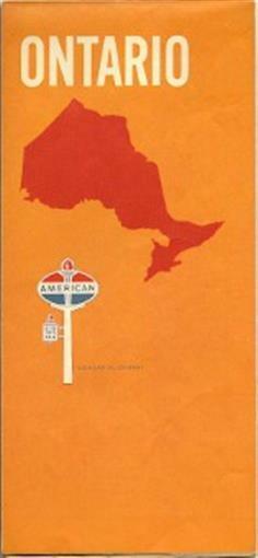
1969 AMERICAN OIL CO Road Map ONTARIO Toronto Ottawa
$ 3.69
- Description
- Size Guide
Description
1969 AMERICAN OIL CO Road Map ONTARIO Toronto OttawaHandsome fold-out highway map of Ontario, Canada, printed more than 41 years ago.
This map opens to 18" x 29" and has great detail on old road alignments, with cartography by Rand McNally. There are inset plans of Ottawa, Toronto, Hamilton, London, and the Muskoka Lakes Area.
It was published by the American Oil Company in 1969 and is dated in the legend. The back cover has an ad for an American Oil credit card.
Condition:
This map is in very good condition, with no marks, rips, or tears. We are pleased to offer it with
our unconditional, money-back guarantee.
Powered by SixBit's eCommerce Solution


